

onX Backcountry Adds LiDAR-Based Topo, 3D Peak Labels, and Offline 3D Terrain for Smarter Navigation
August 20, 2025
New in-map tools help users plan, navigate, and stay oriented, even when far away from cell service.
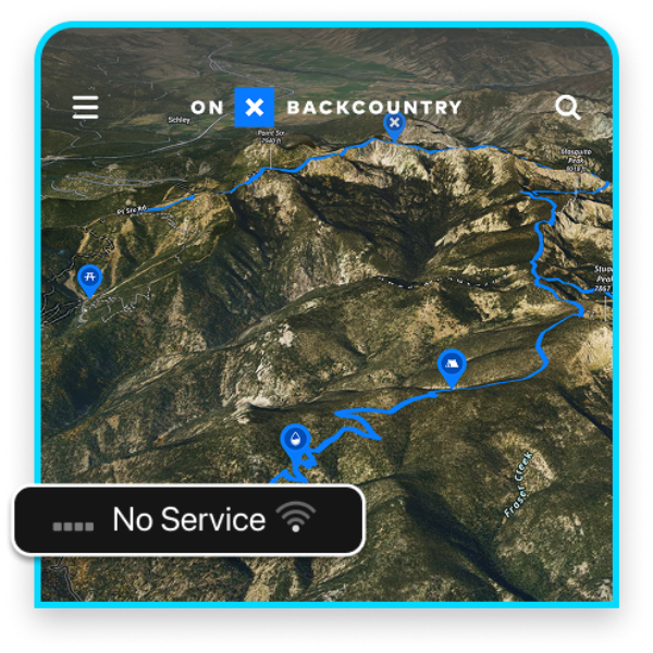
MISSOULA, MT (August 20, 2025) /OUTDOOR SPORTSWIRE/ – onX Backcountry, a navigation and discovery app for outdoor adventurers, announces the launch of three new downloadable tools: 3D Terrain, Peak Labels and LiDAR-Based Topo – improving terrain visualization with ten times more data. Built for remote travel, these latest additions offer a more comprehensive view of terrain that helps users make better decisions in the field, even while far from cell service.
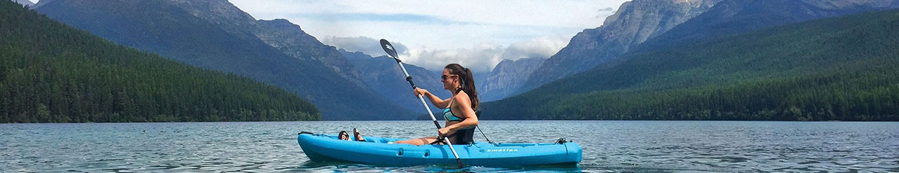
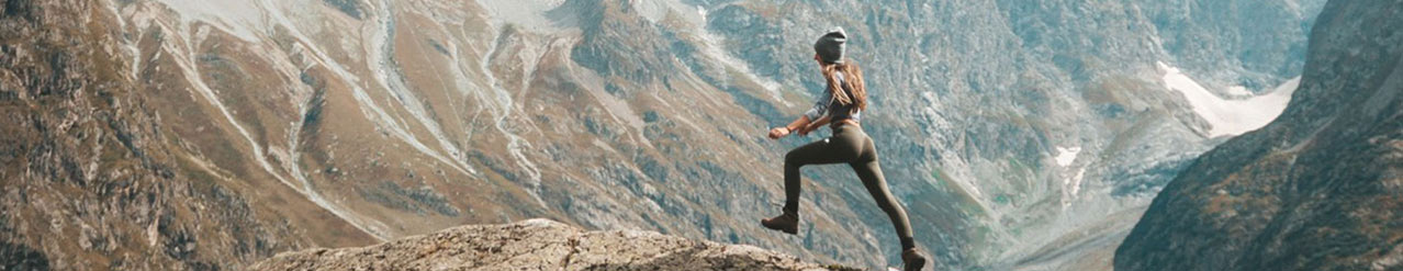
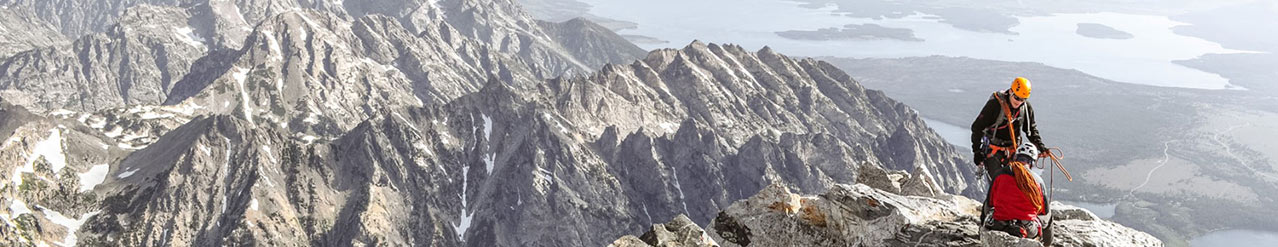
For hikers, backpackers, and mountaineers, understanding the landscape quickly and clearly is essential, especially when navigating complex terrain. While traditional navigation apps often rely on toggling layers and tend to lose detail when far from cell towers, onX Backcountry now delivers a seamless, high-resolution experience by default.
“These updates give users a more complete picture of the landscape, whether they’re scouting new terrain at home or rerouting mid-trip,” said Ian Haygood, Director of Marketing for onX Backcountry. “Imagine you’re standing in a basin on a backpacking or backcountry ski trip, and deciding which ridge to climb next. These new enhancements work together to make it easier to visualize your next step, adapt on the fly, and stay on track…no signal required.”
The new feature set includes:
- LiDAR-Based Topo, a redesigned basemap built with custom elevation tiles, dynamic hillshading, and enhanced topographic clarity. With one data point every meter (compared to every 10 meters historically), the new feature is ideal for navigating complex areas, planning ridge traverses, or identifying campsite locations from elevation lines and slope breaks without having to toggle between layers.
- 3D Peak Labels, which identify surrounding summits and help users orient themselves instantly, while planning and in the wilderness. This feature supports everything from spotting nearby summits and checking prominence to linking multiple peaks into a single route.
- Offline 3D Terrain, allowing users to tilt, pan, and explore terrain in full detail, even in airplane mode. Identify key landmarks in the 3D world with a 3D basemap, and understand terrain changes before they happen.
Offline 3D Terrain is available to onX Backcountry Premium and Elite users. LiDAR-Based Topo and 3D Peak Labels are available at all subscription levels.
For more information on these new tools and how to access them in onX Backcountry, visit https://www.onxmaps.com/backcountry/app/offline-features-update.
# # #
About onX
Founded in 2009, onX is a pioneer in digital outdoor navigation, developing software that helps inform, inspire, and empower outdoor recreationists. onX Hunt, onX Offroad, and onX Backcountry make up the company’s suite of apps and are built by explorers for explorers. Because off-the-beaten-path experiences are at the heart of what onX does, the company also leads initiatives to protect and expand access to public land. Since 2018, onX has worked with various partners to secure and improve public land access through direct funding and by supporting key legislation with data analysis and research. Learn more: https://www.onxmaps.com/onx-access-initiatives.
Media Contact
Kelly Becker
Big Fish Collective
kelly@bfcollective.co
Company Info
onX Backcountry
CONTACT INFO
Kelly Becker
817-800-1939
kelly@bfcollective.co
www.onxmaps.com/backcountry
Follow us on