
onX Backcountry Releases 18 New ATES Zones, Mapping Nearly 15M New Acres of Backcountry Ski Terrain Across the U.S.
November 12, 2025
New zones can be found in Washington, Colorado, Montana, Wyoming, California, Oregon
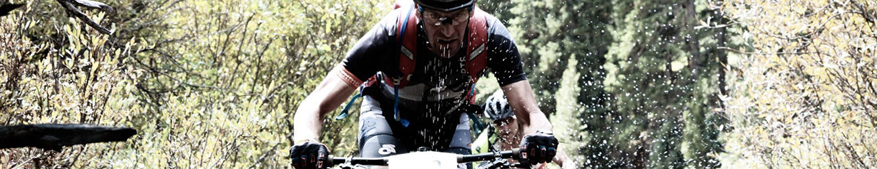
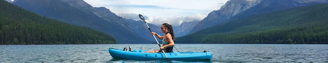
MISSOULA, Mont. (Nov. 12, 2025) /OUTDOOR SPORTSWIRE/ – onX Backcountry, a navigation and discovery app for outdoor adventurers, today released 18 new Avalanche Terrain Exposure Scale (ATES) zones – expanding ATES coverage across nearly 15 million additional acres of the United States, providing backcountry skiers, splitboarders, fat bikers, nordic skiers and other snowsports enthusiasts with a new way to visualize avalanche terrain in popular backcountry zones.
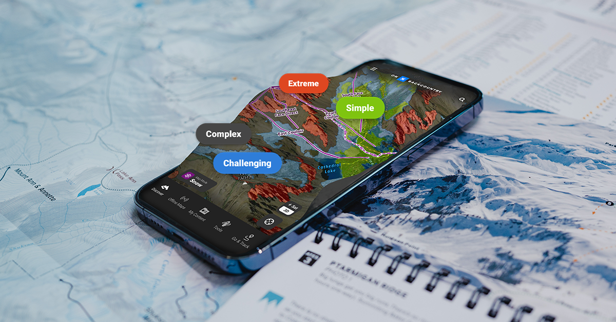
ATES is a tool that classifies terrain based on potential exposure to avalanches. When toggled on in onX Backcountry, it’s a layer that color codes mountain terrain into five different ratings based on potential avalanche exposure. This cutting-edge tool, in conjunction with local avalanche forecasts, allows users to make more informed decisions and confidently plan their outings.
“As backcountry skiing and snowboarding participation continues to grow, onX is on a mission to equip people with the best possible tools to make smarter decisions,” said onX Backcountry Senior Content Manager and Beacon Guidebook Founder, Andy Sovick.“In a sea of ever-changing variables like weather and snowpack, there’s only one variable that remains consistent throughout the season: terrain. By expanding our ATES coverage to some of the most popular terrain across the country, we’re giving skiers and snowboarders one more tool to make better decisions.”
Originally pioneered and developed by Parks Canada in 2003, ATES is a classification that assesses 11 different terrain inputs, including slope angle, starting zones, runout zones, forest density and more. By working in tandem with Alaska-based researcher John Sykes, onX Backcountry is the only digital platform in the United States that provides this tool. Sykes’ algorithm (autoATES) analyzes terrain in popular winter regions in onX Backcountry.
To refine that algorithm, onX works with local avalanche forecasters to test and verify ATES ratings, leveraging their on-the-ground knowledge and historical expertise. This human input is critical to ensure the layer’s accuracy. Furthermore, onX has partnered with the American Avalanche Association (A3), American Institute for Avalanche Research and Education (AIARE) and the American Mountain Guides Association (AMGA) to ensure that ATES is a useful and valuable tool for the backcountry skiing and snowboarding audience. Says Sovick, “We’re regularly reaching out to, and getting feedback from, locals and professionals, tweaking the models accordingly.”
Also included in this year’s expanded ATES coverage is an addition to the ATES scale: “0-Non Avalanche” terrain. Previously, the ATES Scale contained four color-coded levels in ascending order of potential avalanche exposure:
- 1 – Simple Terrain (Green)
- 2 – Challenging Terrain (Blue)
- 3 – Complex Terrain (Red)
- 4 – Extreme Terrain (Black)
The addition of “0 – Non-Avalanche Terrain” provides users with zero-avalanche-risk areas for various snow pursuits and is color-coded grey in the app.
“This is a bold move,” Sovick points out, “because we are now literally drawing a line on the map, saying ‘you won’t get into an avalanche here.’ This can be extremely helpful for Nordic centers, municipalities, utility companies and ski areas. And of course it’s reassuring for people who want to get outside in the winter, yet want to avoid avalanche terrain at all costs.”
Heading into the 2025-26 season, onX Backcountry has tripled its ATES coverage, mapping 23 million acres across ten states. New ATES zones in the App, broken down by state, new acres covered and mountain ranges covered, include:
Washington: 3,918,667 New Acres
- North Cascades 934,590 acres
- Mount Saint Helens and Rainier 1,477,459 acres
- Mount Adams 729,853 acres
- Leavenworth 776,765 acres
Colorado: 3,676,474 New Acres
- Western San Juan Mountains 909,207 acres
- Leadville and Aspen 1,651,722 acres
- Pikes Peak 176,689 acres
- Indian Peaks 374,470 acres
- Gore Range, Summit to Steamboat 564,386 acres
Montana: 3,236,578 New Acres
- Whitefish 1,114,385 acres
- Rattlesnake 360,000 acres
- Bitterroots 1,342,193 acres
- Seeley Lake 420,000 acres
Wyoming: 2,272,651 New Acres
- Togwotee Pass 1,114,621 acres
- Alpine and Afton 1,158,030 acres
California: 1,420,011 New Acres
- Sonora Pass and Ebbets Pass 581,831 acres
- Eastern Sierra 838,180 acres
Oregon: 462,143 New Acres
- Central Cascades 462,143 acres
Current ATES coverage areas in onX Backcountry include zones in states above, plus Utah, Alaska, Idaho and more. Comprehensive lists of ATES zones in the app can be found HERE.
To learn more about ATES and to purchase an onX Backcountry subscription or receive a free 7-day trial, visit onxmaps.com/backcountry/app/features/avalanche-terrain-exposure-scale.
About onX Backcountry
onX Backcountry empowers trailblazers and adventure seekers of all kinds to find new outdoor experiences and relive old favorites. Unlike other apps on the market, onX Backcountry combines industry-leading GPS tools with expert-curated adventure content. Members can enjoy access to 770K+ trails and over 30,000 guidebook adventures for an annual cost of $29.99. Because off-the-beaten-path experiences are at the heart of what onX does, the company also leads initiatives to protect and expand access to public land and promote stewardship opportunities. Learn more at https://www.onxmaps.com/onx-access-initiatives
###
Contact: Austin Caron
Big Fish Collective
austin@bfcollective.co
Company Info
onX Backcountry
CONTACT INFO
Austin Caron
708-745-1747
austin@bfcollective.co
www.onxmaps.com/backcountry
Follow us on