Hipcamp Launches Free Public Lands Maps to Help Campers Find Epic Sites Near National Treasures
March 29, 2023
The new tools showcase nation’s best campsites near national parks, borders for BLM lands where campers can stay for free, and Hipcamp stays near America’s most scenic rivers and important wildlife refuges.
SAN FRANCISCO– Campsite booking platform Hipcamp today announced the launch of free public lands maps, giving outdoor enthusiasts an easy way to find and book available campsites across the U.S. that are on or near points of interest on public lands.
“We’ve made it simple to find free places to pitch a tent on BLM lands and national forests, and to discover the best Hipcamps near our most-loved National Parks and other treasures like wildlife refuges, grasslands, and monuments,” said Hipcamp CEO Alyssa Ravasio. “Our new maps make it simple to plan your National Parks road trip this summer, and give you an easy way to find the perfect Hipcamp or free outdoor stay along your itinerary. Public lands are our commons, and Hipcamp’s new public lands maps deliver on our brand promise of making it simple for everyone to get outside.”
The interactive maps, available at hipcamp.com, reveal all 424 National Park Service unit boundaries, along with entrance gates and visitor centers.
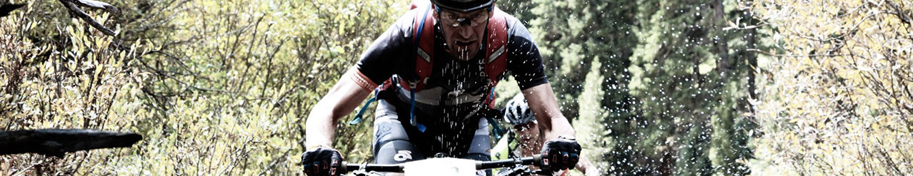
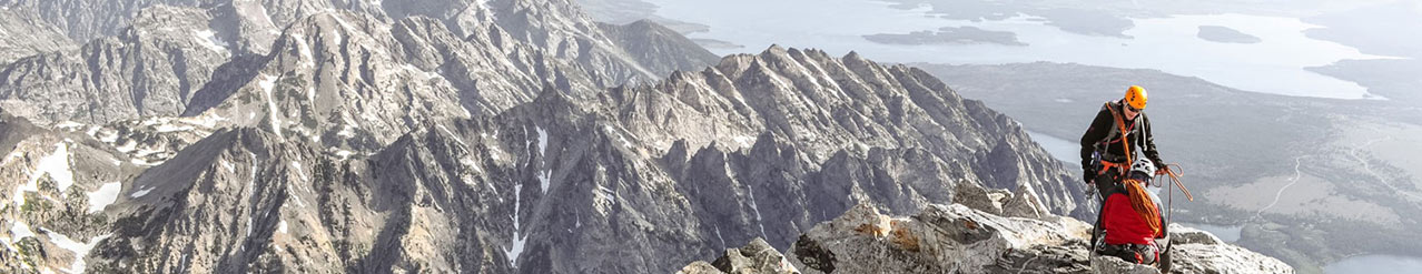
Now, campers can confidently select from among Hipcamp’s 600,000 available U.S. sites to find stays within easy driving distance of the Hoodoos at Bryce Canyon National Park, or discover unique getaways near less crowded destinations like Florida’s Dry Tortugas National Park, known for its rich abundance of marine life.
Road wanderers, van lifers, and digital nomads in need of information about where they can safely park and camp for free at BLM lands can find it at Hipcamp.com.
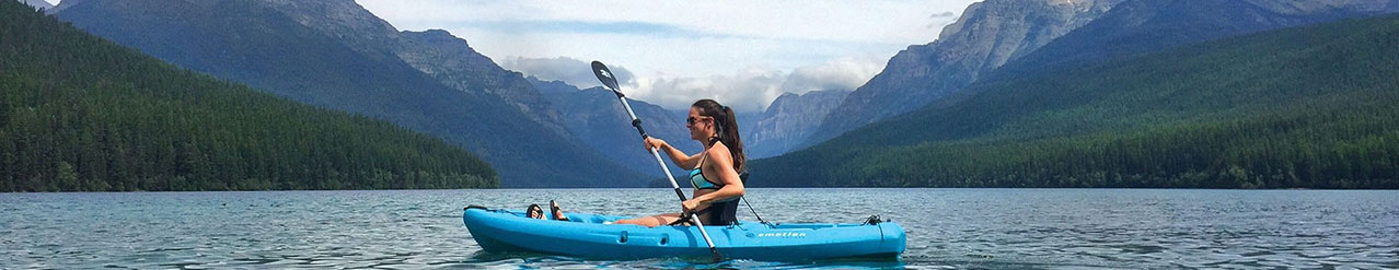
Birders and anglers alike can use the maps to discover tent camping, RV sites, cabins, and other stays near bird sanctuaries and scenic rivers.
“This level of detail across multiple agencies has never been made available for free in a single place,” said Ravasio. “We are proud to share public lands boundaries, information about how to get outside in a more sustainable way, and education about how to responsibly recreate on public and private lands. We encourage all Hipcampers to leave the land better than they found it when they pack up their tent or head off to their next destination.”
Other free map layers available at Hipcamp.com include International Dark Skies Maps, Indigenous territories across the United States, and detailed data coverage maps from cell providers like Starlink, AT&T, Verizon, and more.
Social Media Links
Hipcamp: @hipcamp
About Hipcamp
Founded in 2013, Hipcamp is the world’s largest provider of outdoor stays. It gives a growing community of good-natured people the opportunity to list, discover, and book unique outdoor experiences. The fully remote company operates in the United States, Australia, Canada, and the United Kingdom, and to date has helped people spend more than 7 million nights under the stars. When listing on Hipcamp, farmers, ranchers, vintners, and other landowners generate new revenue streams to steward their land and keep working lands working. By making it simple to get outside, Hipcamp protects habitat and supports a growing love for the land.
Contacts
For press inquiries, contact Lydia Davey at press@hipcamp.com
Company Info
CONTACT INFO
Follow us on