


onX Leverages Planet Data to Launch New “Recent Imagery” Feature
August 22, 2023
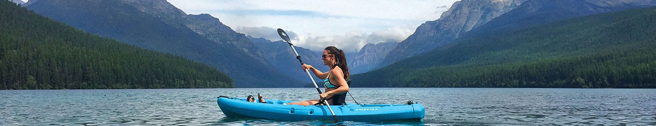
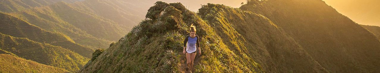
Advanced aerial imagery helps App users make informed decisions about trail conditions to stay safe, achieve their objectives, and protect public lands
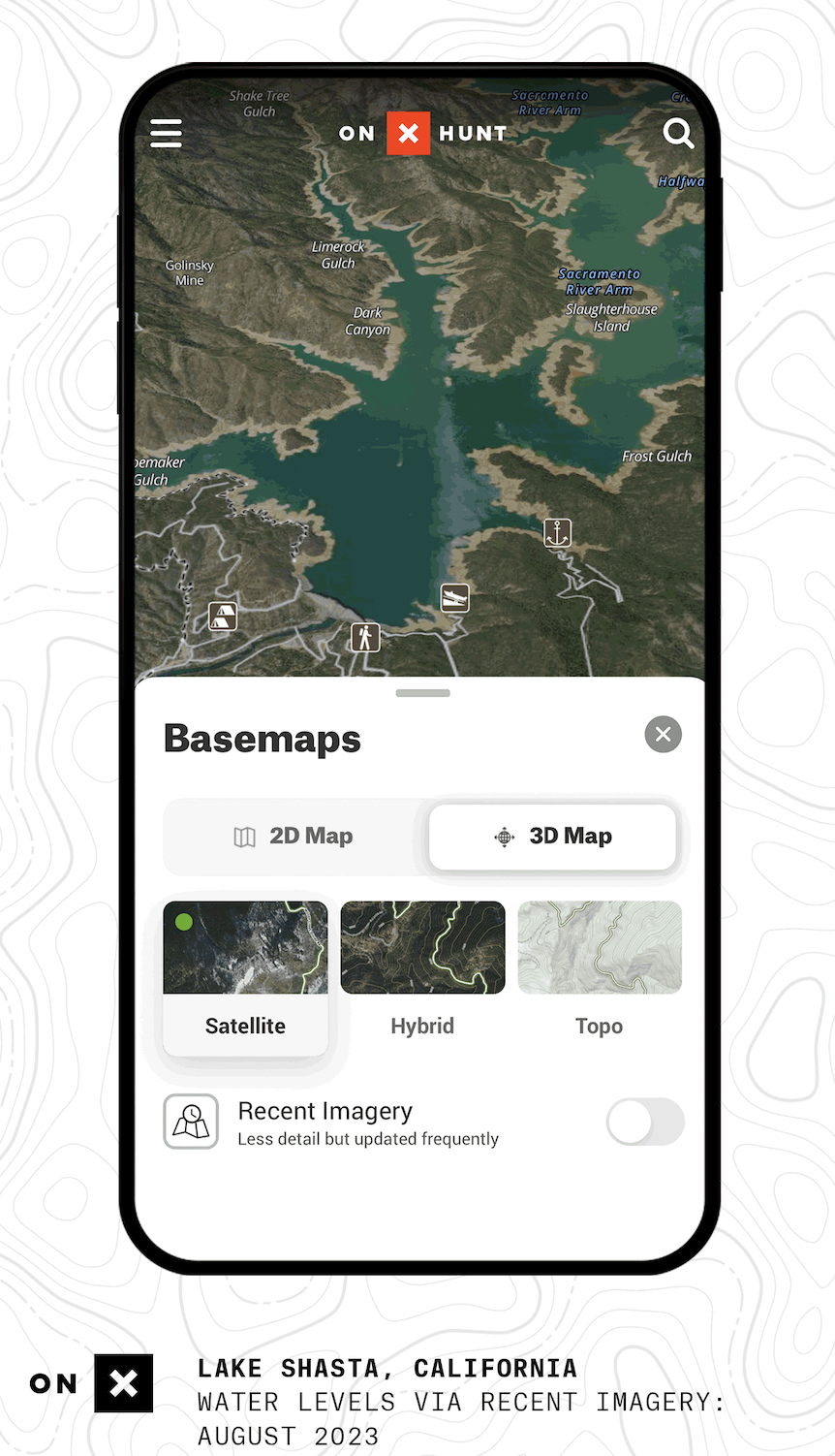
Missoula, Mont. — Aug. 22, 2023 /OUTDOOR SPORTSWIRE/ – onX, a pioneer in outdoor digital navigation, is collaborating with Planet Labs PBC (NYSE: PL), a leading provider of global satellite imagery and geospatial solutions, to launch an all-new feature: Recent Imagery. Recent Imagery provides onX users across its suite of apps–onX Hunt, onX Offroad and onX Backcountry–with satellite imagery map views, updated every two weeks. This capture frequency provided by Planet’s fleet of imaging satellites puts critical information about current recreation conditions at outdoor enthusiasts’ fingertips, helping them stay safe, achieve their goals, and exercise good stewardship while recreating outside this summer and beyond.
“Whether someone is looking to see if a high mountain pass is dry for an upcoming hiking or overlanding trip, exploring the availability of water sources or ice cover, checking to see if an area is muddy and thus more susceptible to erosion, looking into impacts from recent wildfires, or seeking out the last remaining strip of snow to ski, Recent Imagery helps ‘fill in the blanks’ for folks as they’re planning their adventures,” said onX Senior Director of Geospatial, Brian Riordan. “Planet’s imagery is twice as detailed as other imaging sources–we’re talking five meters per pixel compared to 10. That level of detail means onX users have exceptionally reliable data to make well-informed choices about when, where, and how they recreate. As a result, we can better steward our outdoor places and public lands, avoid putting pressure on critical areas or habitats, and reduce the burden on land management or emergency response teams.”
Planet operates hundreds of satellites that together provide an unprecedented dataset of Earth observation imagery. With a unique combination of coverage, frequency, and resolution, Planet delivers geospatial insights “at the speed of change,” helping users get the most nuanced understanding of changing ground conditions and validate on-the-ground information. Its constellation of satellites orbit the poles every 90 minutes, capturing the entire Earth’s landmass every day.
“Planet’s combination of high-frequency and high-resolution imagery provides a unique experience for outdoor enthusiasts to better understand current conditions, landscape changes, and historical trends in their area of interest,” said Planet Account Executive Zach Precious. “We’re thrilled to be providing data for onX’s Recent Imagery feature, allowing their users to gain confidence in planning their next adventure, and maximizing the best possible outcomes. On top of the natural fit between two geospatial industry leaders working together, our collaboration will work to promote and enable better stewardship of the land and our planet!”
Recent Imagery is a high-frequency complement to onX’s existing, high-resolution satellite basemap, updated every few years. While the high-resolution satellite basemap is available to all levels of subscribers, Recent Imagery is an Elite member feature, accessible on both mobile and desktop App versions. Because Recent Imagery is taken every fourteen days, users also have the ability to explore and compare what the landscape looks like now and what it looked like “then” by scrolling through onX’s archive of historical images.
onX aims to provide its app users with continuous innovation, and Recent Imagery is one of the company’s latest updates. Other key features launched in 2023 include Route Builder, Terrain X, in-dash integrations with Apple CarPlay and Android Auto, and an industry-leading, immersive 3D experience.
For more information about onX, visit onxmaps.com.
To learn more about Planet, visit planet.com.
About onX
Founded in 2009, onX is a pioneer in digital outdoor navigation, developing software that helps inform, inspire, and empower outdoor recreationists. onX Hunt, onX Offroad, and onX Backcountry make up the company’s suite of apps which are built by explorers for explorers. Because off-the-beaten path experiences are at the heart of what onX does, the company also leads initiatives to protect and expand access to public land and promote stewardship opportunities. Learn more at www.onxmaps.com/about.
###
Company Info
onX Maps
CONTACT INFO
Kara LaPoint
kara@bfcollective.co
www.onxmaps.com
Follow us on