


Avatech Launches Updated Avanet, a Crowdsourced Mobile & Web Platform of Mountain Safety Information for Snow Pros and Recreationalists
November 18, 2015
Avatech, an outdoor technology company focused on developing breakthrough, mountain safety technologies, announces the launch of Avanet, the world’s first crowdsourced, real-time platform of mountain safety information. Avanet is now available to both recreational and professional users for download on the web at www.avatech.com and on mobile at the App Store.
“At Avatech our mission is to build a safer mountain community. The Avanet platform helps everyone communicate and share information in the mountains more easily than ever before. Our global mountain community can now share real-time, geo-tagged observations of snow conditions, weather, wind, avalanches and more,” says Brint Markle, co-founder and CEO of Avatech. “Now all mountain travelers – skiers, snowboarders, snowmobilers, snowshoers, mountaineers and the professional snow community – can benefit from the information shared on the Avanet mountain safety platform. And when we share information, it’s a win-win for everyone.”
The new Avanet mobile app allows users to upload an array of mountain safety observations including photos, videos and comments, as well as view alerts or observations from others traveling nearby. Avanet mobile is built for the mountain environment and works both in and out-of-cell reception. The mobile app also includes a route-tracking feature that allows users to monitor key statistics from their tours. Users can select over 20 different topo and aerial maps all on a single platform fully integrated with observation information. All mobile data is synched with the Avanet web platform, where users can plan and share routes and dynamically visualize terrain on Avanet’s new GIS platform.
“Avanet could generate an influx of mountain observations from both recreationalists and snow professionals,” says Ethan Greene, director of the Colorado Avalanche Information Center. “This will benefit individual backcountry users, and we are working together to create a seamless way for those observations to reach forecast centers such as CAIC that rely on observation data to create regional forecasts.”
Packaged to serve the most appropriate mountain traveler, the Avanet mobile and web app is available in three versions: Avanet, Avanet Tour and Avanet Pro. Avanet is a complimentary version for recreational mountain travelers and includes such features as basic topographical and aerial maps, tour tracking and the ability to submit and view public observations. Avanet Tour ($5 per month) includes additional features like terrain visualization and route planning tools. Avanet Pro ($10 per month) is the most feature-rich platform designed for professional guides and snow safety professionals and includes such additional tools as advanced route planning, professional-grade observation sharing, pro data access and more.
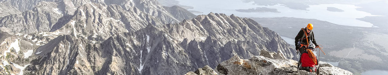
“The more knowledge you have the better,” says professional skier and mountaineer Chris Davenport. “Crowdsourced, real-time information about what’s happening in the mountains, in the backcountry, benefits professional forecast centers and backcountry users everywhere. I use Avanet in the field and trip planning, and it’s been a game-changer in how I prepare to go into the mountains.”
For additional information regarding Avatech, or its new mobile app, Avanet, please view the current brand video: https://www.youtube.com/watch?v=miF12Xt0FY8.
Avatech is building the largest and most intelligent network of mountain-safety information in the world, powered by connected hardware and software. For more information on Avatech, visit http://www.avatech.com
Company Info
Avatech
CONTACT INFO
John L DiCuollo
970.963.4873 x118
john.dicuollo@backbonemedia.net
www.avatech.com
Follow us on